| Home Page |
| Clarendon Home Page |
| Winchester |
| Farley Mount |
| Hoplands |
| Kings Sombourne - Broughton |
| Broughton - Middle Winterslow |
| Middle Winterslow - Salisbury |
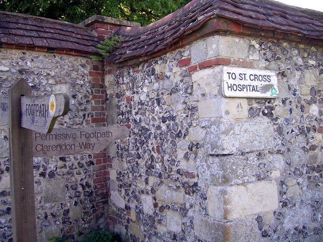
| The Clarendon Way |
This is a series of circular walks, each of which covers part of the Clarendon Way from Winchester to Salisbury Cathedral. Many of these walks touch on other long-distance paths, such as the Itchen Way, Test Way, Monarch's Way, etc. Within each walk, there are a series of geocaches. Each walk will published as a set; it may be several months before all the walks are published. I have used Mapyx Quo to plan and document these walks. This is free mapping software (you pay for the maps, but you can buy them a "tile" at a time). I have been using it for about a week at the time of writing, and think it's wonderful! At the time of writing I have no connection with the company, although I hope to become an affiliate. I will publish all the details of the walks as Quo "projects", so that you can download all the walks, and all the geocaches. Each walk will also be published as a GPX file that you can download to your GPS or other mapping software, and as a KML file so that you can see the route on Google Earth. |
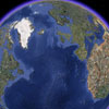
Clarendon Way as a whole
Downloadable Files
Each route has a route card that shows the summary of the route (distance, height, etc), a route profile (picture of the ups and downs), and a list of the waypoints.
In addition to the circular walks, there are three long walks:
Walk |
GPX file |
Google Earth |
Route Card |
| Whole of CW (27 miles) | |||
| East Walk (13.3 miles) | |||
| West Walk (16 miles) |
To download GPX Files, right-click the link, choose Save Link As ..., and save it to wherever you keep route files.
See the documentation that came with your GPS for information on how to download the route to your GPS.)
|
© Copyright James Hardiman and licensed for reuse under this Creative Commons Licence.
Pictures
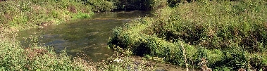
See pictures of this area here.
Download Files
To download GPX Files, right-click the link, choose Save Link As ..., and save it to wherever you keep route files.
See the documentation that came with your GPS for information on how to download the route to your GPS.)
Show the whole project on Quo
(What's Quo?)
Geocaches on route
There are geocaches on this walk.
There are caches nearby: see them on Google Maps.
Clarendon Way Links
Leaflet about the Clarendon Way from Hampshire County Council.
Download Software
You need Adobe Reader to read that leaflet.