| Home Page |
| Clarendon Home Page |
| Winchester |
| Farley Mount |
| Hoplands |
| Kings Sombourne - Broughton |
| Broughton - Middle Winterslow |
| Middle Winterslow - Salisbury |
| Farley Mount |
Just under 11 miles, although there are shorter options that you can see in the Quo project. (What's Quo?) Can be pretty muddy. This walk is (almost) entirely within Farley Mount Country Park. Has four Geocaches laid by me (and plenty of other caches):
View/print the route card, with route summary and profile. Short walk (east) route card. (5 miles) (GPX file) (See on Google Earth) Short walk (west) route card. (5.8 miles) (GPX file) (See on Google Earth) |
|
© Copyright James Hardiman and licensed for reuse under this Creative Commons Licence
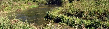
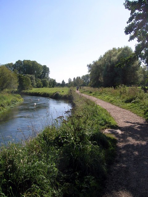
Pictures
See pictures of this area (these sets follow the route)
SU 44 29, SU 44 30, SU 44 30,
SU 42 29, SU 41 30, SU 41 31,
SU 40, 31,
SU 39 31, SU 39 30,
SU 39 29,
SU 43 29
Download Files
GPX file with the route and the Geocaches (mine, and others en route).
To download GPX Files, right-click the link, choose Save Link As ..., and save it to wherever you keep route files.
See the documentation that came with your GPS for information on how to download the route to your GPS.)
Show this walk on Google Earth
Show the whole project on Quo
(What's Quo?)
Geocaches on route
There are geocaches on this walk.
There are caches nearby: see them on Google Maps.
Clarendon Way Links
Leaflet about the Clarendon Way from Hampshire County Council.
Download Software
You need Adobe Reader to read that leaflet.